31 Jul 2026
Satellite Data Overlays Refine Terrain Accuracy in Large-Scale Exploration Titles Through Real-Time Geospatial Feeds Integrated with Engine Pipelines
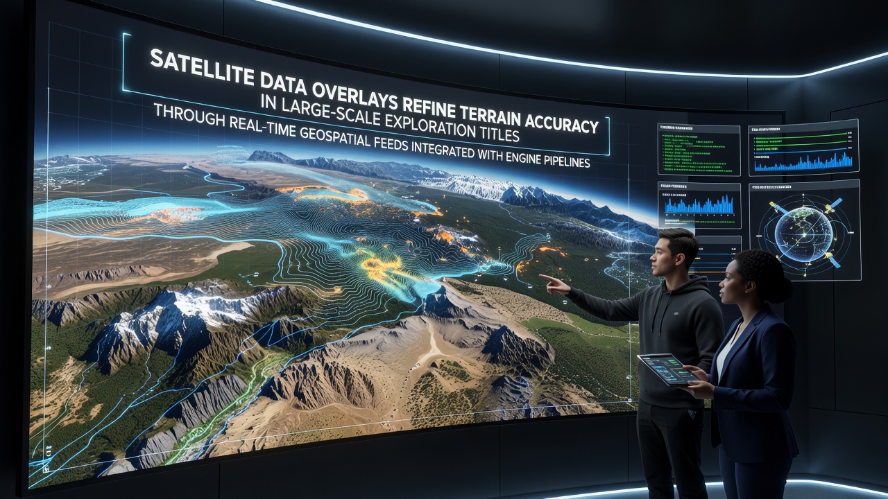
Developers working on large-scale exploration games have started pulling live satellite data into their engine pipelines, and this shift allows terrain features to match real geospatial measurements more closely than ever before. Real-time feeds from orbiting instruments supply elevation models, land cover classifications, and atmospheric corrections that update dynamically as players move through virtual environments. The process begins when game servers request packets from public geospatial repositories, then the engine layers those packets over procedural base meshes without interrupting frame delivery.
How Real-Time Geospatial Integration Works in Practice
Engine pipelines handle incoming satellite streams through dedicated middleware layers that convert raw raster data into optimized mesh and texture assets. These layers run alongside traditional rendering threads, so terrain LOD adjustments occur while the player explores without triggering visible pop-in or hitching. Data arrives in standard formats such as GeoTIFF and GeoJSON, which the middleware normalizes into engine-native structures before shaders apply the overlays. Observers note that studios using this approach report fewer manual heightmap edits because the satellite source supplies accurate elevation values at multiple resolutions.
Game teams coordinate with data providers to schedule update windows that align with patch releases. During these windows the system pulls revised imagery captured in the preceding days or weeks, then applies delta compression so only changed terrain sections transmit to client machines. This method keeps bandwidth demands manageable while maintaining consistency across multiplayer sessions where multiple explorers traverse the same region simultaneously.
Current Implementations in Exploration Titles
Several titles released or updated by mid-2026 demonstrate the technique at scale. One open-world adventure set across multiple continents ingests daily passes from optical and radar satellites to refresh riverbeds and coastal erosion zones. Players who revisit an area after a major storm event sometimes encounter altered shorelines because the engine incorporated fresh elevation readings. Another survival game focused on polar regions uses synthetic aperture radar feeds to model ice thickness variations, allowing vehicle traversal mechanics to respond to actual measured surface conditions rather than pre-authored approximations.
Those who have studied these implementations point out that integration requires careful handling of coordinate system transformations. Satellite data often arrives in geographic coordinate systems, whereas game engines default to Cartesian spaces, so middleware performs on-the-fly reprojection to prevent distortion at high latitudes. Studios also cache frequently accessed tiles locally on player hardware to reduce latency when connectivity fluctuates during long exploration sessions.
Technical Challenges and Solutions
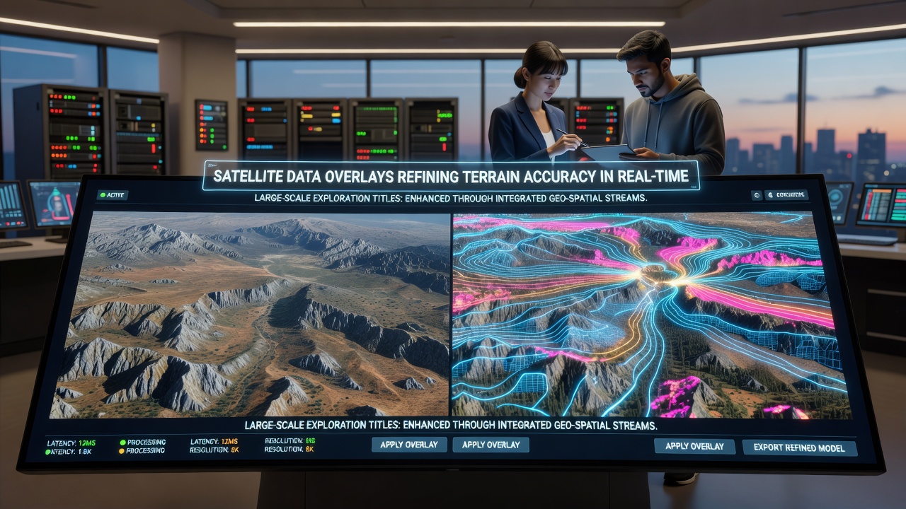
Bandwidth remains a primary constraint because high-resolution satellite tiles can exceed several megabytes per square kilometer. Developers address this by implementing progressive streaming that delivers low-detail base layers first, then refines them as additional data packets arrive. Error correction algorithms detect and discard corrupted packets before they affect rendered geometry, which prevents artifacts from appearing along seams between adjacent tiles. Research indicates that combining these techniques keeps average data usage below 15 MB per hour of active exploration even when players traverse rapidly changing terrain.
Another challenge involves synchronizing satellite timestamps with in-game time systems. Because orbital passes occur on fixed schedules, some studios offset their virtual calendars so that lighting and weather conditions align with the actual capture times of the imagery. This synchronization produces more coherent visual results, especially when players switch between day and night cycles or cross climate zones where vegetation indices shift noticeably between seasons.
Industry Data and Adoption Trends
Figures from NASA Earthdata show that geospatial dataset downloads for commercial entertainment applications grew steadily through 2025, with game developers accounting for a measurable share of non-research traffic. European Space Agency archives similarly record increased queries from studios located outside traditional aerospace sectors. These trends suggest that real-time satellite integration is moving from experimental side projects into standard production pipelines for titles that emphasize exploration over scripted linear progression.
Academic groups at institutions such as the University of Calgary have published studies examining latency budgets when satellite streams compete with other networked systems inside the same engine. Their findings reveal that careful prioritization of geospatial packets behind player movement data prevents noticeable delays in competitive multiplayer modes while still delivering terrain accuracy improvements in cooperative exploration scenarios.
Future Outlook Through July 2026 and Beyond
By July 2026 several major engines plan to ship native plugins that automate the satellite ingestion workflow, reducing custom middleware requirements for smaller teams. These plugins will include built-in support for common satellite providers and automatic handling of projection conversions, which should lower the barrier for independent developers creating large procedural worlds. Observers expect continued refinement of compression methods so that even mobile devices can maintain reasonable terrain fidelity when connected to moderate bandwidth networks.
Conclusion
Satellite data overlays continue to tighten the relationship between real-world geospatial measurements and virtual terrain in exploration-focused games. Real-time feeds integrated directly into engine pipelines supply elevation and surface data that update dynamically, while middleware solutions manage bandwidth, synchronization, and coordinate transformations. Adoption metrics from major data repositories and academic examinations of latency trade-offs indicate that the approach has moved beyond isolated experiments into broader production use. As native engine support expands, more titles will likely incorporate these feeds to maintain accurate, evolving landscapes across extended play sessions.